July 3 BBQ trail ride preview pics
(click any pic for a 4x version)
I originally created this page so Jason could check out some
pics of the trails behind the house, but I figured I'd leave them
here just in case anyone else would care to take a peek.
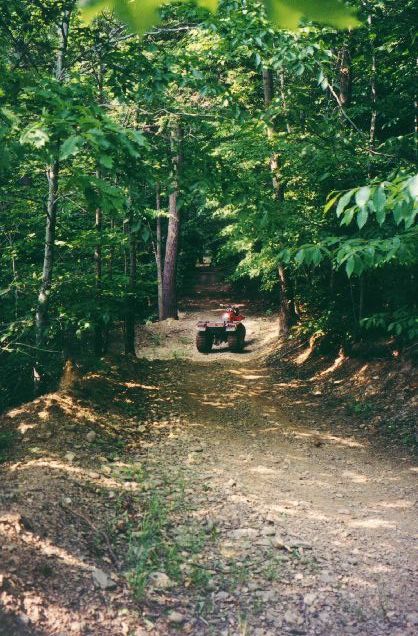
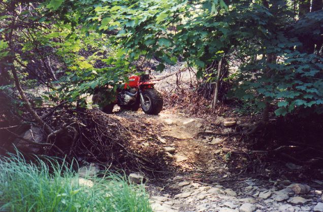
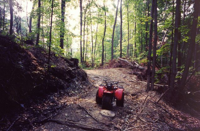
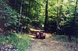
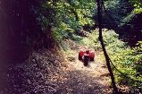
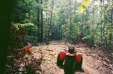
For your reference, the ATC in the pics is about
6' long, 3.5' wide, 2.5' high at the back, and 3.5' high at the handlebars.
Unfortunately, a lot of the perspective is gone; somehow the hills
seemed to flatten out when they were transferred to film... :-P

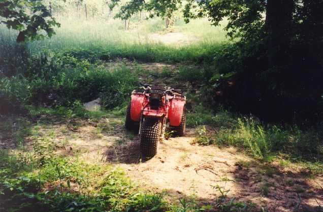
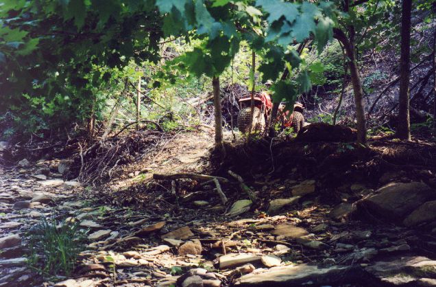
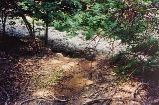
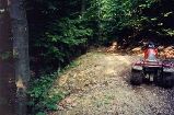
Here are a couple of pics of a culvert we may have to go over.
There is a way around this if its too narrow, but would require some
trail pruning.
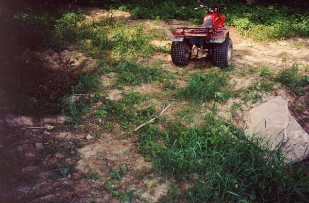
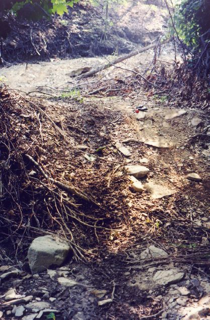
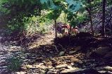
A couple of pics of a decent slope downward, followed by an
immediate 90 degree turn to the right. In the "long" pic, there's
a muddy dip maybe 10-20 feet in front of the ATC, then a muddy
"plateau" which requires an immediate turn 90 degrees to the
left through the muck. This is the optional "challenging"
place I told you about, where I got stuck with the ATC. No pics
of the muck (looks like ordinary ground anyway).
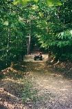
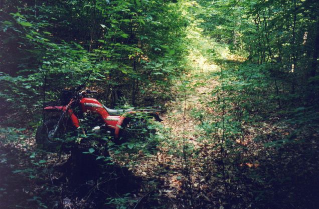
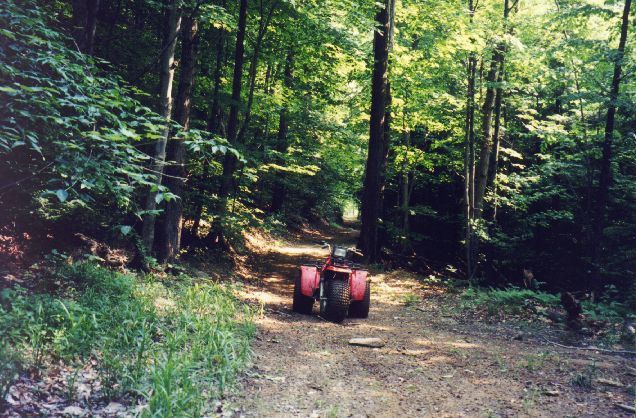
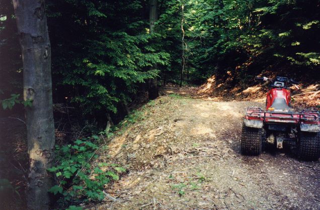
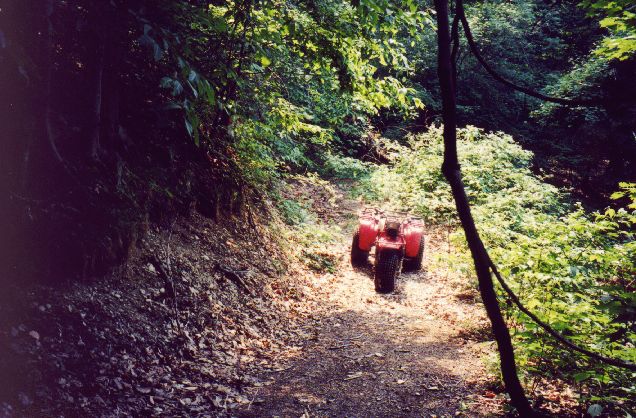
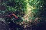
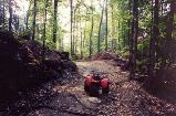
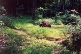
A long straight hill through a tunnel of trees. This hill really isn't
much of a problem, but if you manage to slip off, I estimate its
about 300 feet to the slate bottom of the ravine below... (near the
top of the hill anyway)
The first pic shows the
ATC near the top, the 2nd is when its at the bottom.

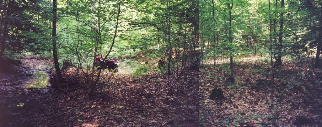
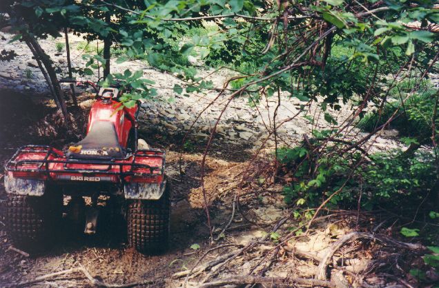
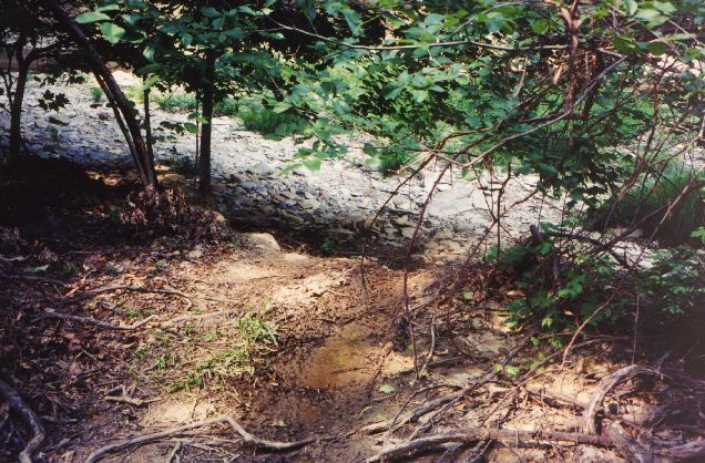
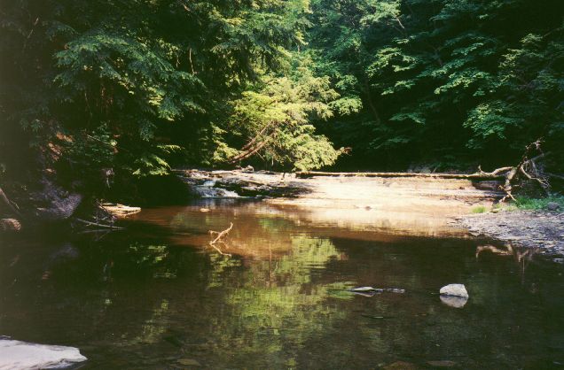
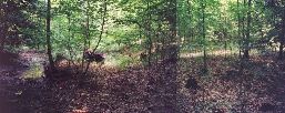
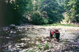
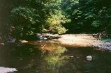
Here is the entrance to the ravine that I told you about. There's
a couple of pics looking down toward the riverbed (with and without
the ATC), then 3 from the riverbed at different angles. In the last
pic, thats my wallet and keys on top of the bank to try and give
you some scale.
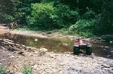
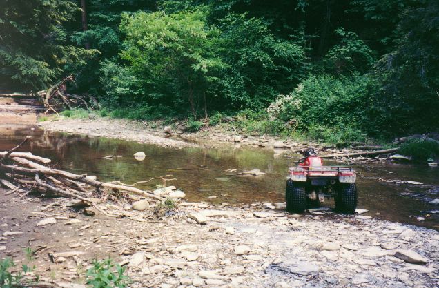
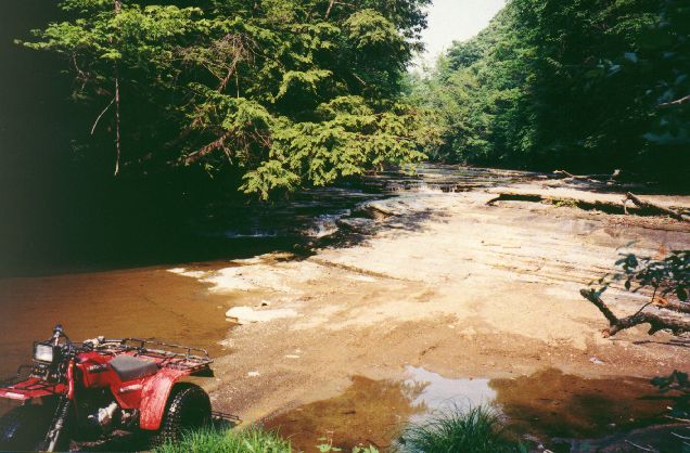
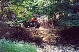
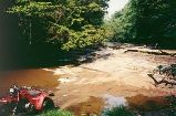
The water crossings. The water is about 6-8 inches deep; no sweat
for the ATC, should be even easier for a truck? The only concern
I have is the rocks underneath the water (And on the shore for that
matter). The big soft tires of the ATC handle them no problem, but
I'm not sure how a truck tire would do?
The unavoidable hill... If we want to get to the ravine, we'll need
to go down and then up this hill. We *might* be able to bypass it
but that would require a rather long trek inside the ravine
itself; lots of water crossings and crawling over rocks the whole way.
This hill is right above the "steep bank".
This hill is nasty. Slippery and narrow, with about 100 feet down (to the left)
if you screw up. This one *is* avoidable, but only by using the hill in the
pic below.
Here's a hill we could use to bypass the one above. Still steep and
narrow, but not quite so slippery. It needs some grooming too.
If we want to avoid the nasty hill, we will also need to go through
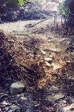
this; a couple of ditches that have been eroded by runoff water.
They're a pretty decent size; I have no idea if they present any
problems though.
I'm not sure why I took this pic. :-) This is between the unavoidable
hill and the hill that we could use to avoid the nasty hill. You
might be able to tell that the ground is starting to slope up to the
left; that's the side of the bypass hill; here's about where you would
end up if you rolled off of that one. ;-)

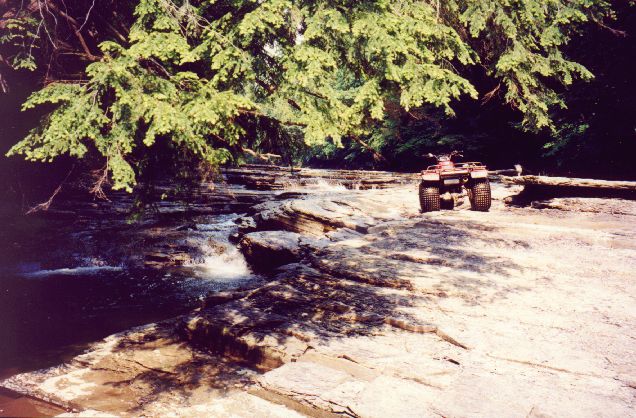
Various shots of the waterfall area. The first pic I took from the
seat of the ATC when it was located where it is in the 2nd water crossing
pic. (got that?) ;-) The second pic is where you have to drive if
you wanted to get above the waterfall; right between the waterfall and
a big slab of slate. Not a lot of room, and pretty steep. (All rock, too).
The 3rd pic shows the flat pieces of slate above the waterfall area
that I mentioned to you before where we used to do donuts and stuff. :-)
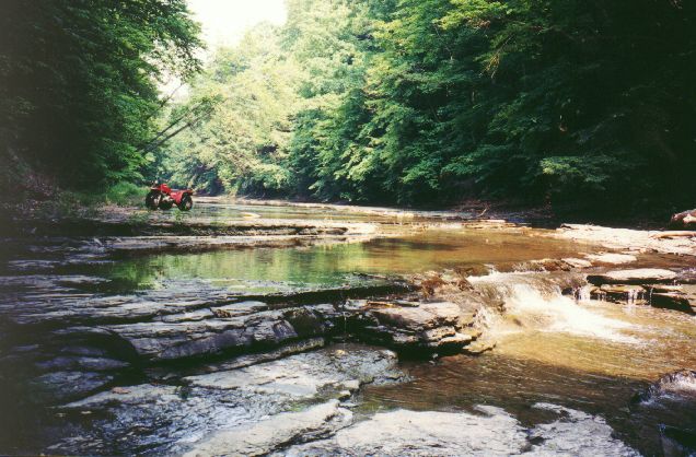
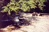
Finally, another shot of the waterfall area. There's a little "tide
pool" almost off to the right; the main part of the stream is
off to the left; the waterfall is in the background.
I seem to recall the waterfall being bigger when I was younger. :-) Oh
well, it still looks and sounds pretty nice. :-)